

PRODUCTS
Science and technology lead the future
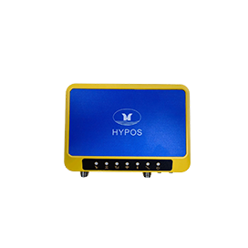
HYPOS®BeiDou high-precision satellite receiver
HYPOS ® The BeiDou high-precision satellite receiver is a high-precision GNSS receiver used in engineering, monitoring, and other applications. This product is suitable for project applications such as ocean surveying, vehicle monitoring, engineering testing, and automated data collection.
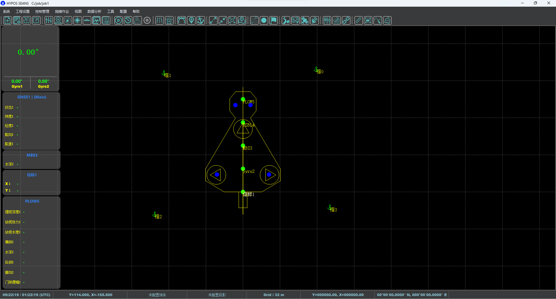
HYPOS SEAS®Navigation and positioning software package
Ocean engineering navigation and positioning software is an engineering application software designed to meet the requirements of ocean engineering survey operations. It aims to make offshore oil survey operations more convenient and efficient, and achieve the goal of independently developing navigation software for ocean engineering survey ships.
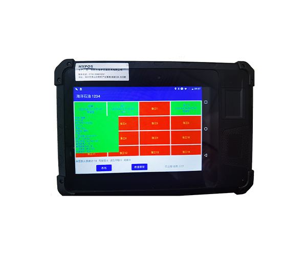
HYPOS®T-Card intelligent registration system
HYPOS ® T-Card intelligent registration system is a virtual conference room registration system based on electronic and networked management, which can conveniently and quickly complete personnel registration, item management, and other operations.

HYPOS®Vehicle mounted Beidou/GPS dual mode positioning terminal
HYPOS @ CK-208A is a highly modular positioning product based on the 4G/5G Beidou/GPS system. This product supports internet platforms to locate and monitor remote targets, and has functions such as power detection, mileage statistics, remote fuel and power outages. Users are also notified of vehicle condition information through SMS and internet platforms. This product supports multiple protocols such as JT808.
Shenzhen Haiyi Oil Technology Co., Ltd
506-507 5/F Shenzhen Research Institute The Chinese University of Hong Kong,No.10, 2nd Yuexing Road, Nanshan, Shenzhen,China
